Saturday, July 30, 2011

Summer Update: Pittsburgh, Vermont, Southern California.

I haven't been back to Panther Hollow in Pittsburgh since winter, but the habitat restoration work in Schenley Park and the Junction Hollow Watershed are really taking off.  Yesterday the Pittsburgh Parks Conservancy blog had a post by Krissy Hopkins, who is doing research on restoration in Panther Hollow.  The post really brought me back to last year when I spent many hot, muggy days exploring the hollow and the larger Junction Hollow watershed that Panther Hollow is a part of.  I wonder how much has changed in the last six months, and how the rain gardens I helped install in East Liberty are doing.

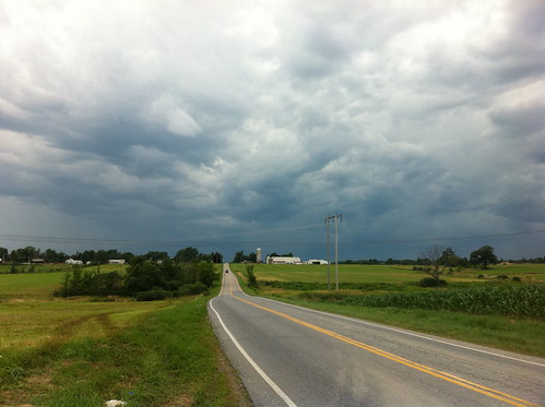
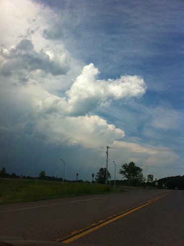
Meanwhile, in Vermont, the weather has done a 180 degree turn from what it was doing this spring.  (No, it has not reached 180 degrees, though it felt like it for one week.)  Instead of flooding, the weather has actually been rather dry.  As that article points out, the summer rain has been very spotty and localized this year (as it often is).  As it happens, the Middlebury area has been wetter than most areas, as we've been 'lucky' with the thunderstorms and rain.  In fact, yesterday's rain seemed to target southern Addison County specifically!  Nevertheless, it has been dry as a whole, and the rivers are low.  Nothing like what they are seeing in Texas, and I suspect by the time fall comes around it will be wet again.  Still, it is interesting how quickly conditions can change.

The forecast in Vermont is much the same for the next week:  warm and mostly dry, but with a few scattered thunderstorms each afternoon.

IMG_3287.JPG
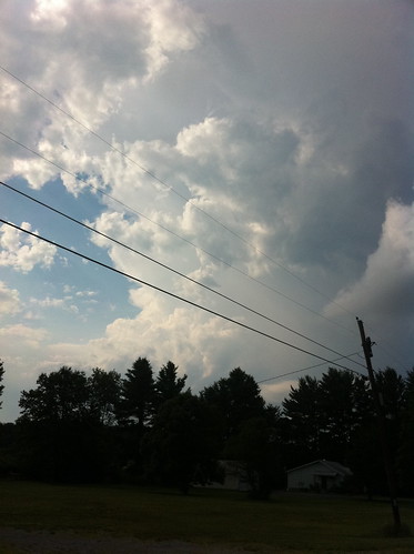
Above: a storm approaches the Middlebury Airport.  The Middlebury area has been wetter than much of Vermont lately, probably just due to chance.

Southern California is expecting an easterly wave from the Southwest Monsoon today.  As is often the case, thunderstorms are likely in the San Gabriel and San Bernardino Mountains.  With this wave, however, there is also a chance that some of these thunderstorms will move out of the mountains towards the coast, bringing some rain and lightning to areas like Los Angeles or Ventura.  Summer thunderstorms in these areas are quite rare - some years one or two storms make it to the coast in late July or August, but in many years there is no summer rain at all.  If it does rain, enjoy the brief break from the dry season.

Friday, July 29, 2011

Clean Water Should Not Be a Partisan Issue (just one political post)

I have my own political opinions, and enjoy a good debate as much as anyone.  Yet, I've tried to keep politics out of this blog.  Politics in the United States are more and more divisive by the day, and yet clean water and livable conditions are important to anyone and really are not a partisan issue.

Or, at least, they shouldn't be.  I came across this story on the NPR website today about a Republican mayor in a conservative state who has worked to daylight a stream, creating an open space that has coincided with an economic boom in aptly-named Greenville, South Carolina.

I'll admit that I tend liberal on most issues, but I think it is important to give credit where credit is due.  Conservatives, in particular conservative hunters and fishermen and people in rural areas, have been a tremendous part of the conservation movement, and in fact were the people who got the movement started.  The people I know who consider themselves conservative care about water and open space just as much as I do.  In fact, conservation is at its root a 'conservative' value.  These days, though, it is usually perceived as a 'liberal' value.  Really, it should be both.  We all drink the same water, and no one wants poop, carcinogens, or heavy metals in their drinking water.  Everyone likes a cool, clean river or lake to swim in or dip their feet in, without fear of getting sick.  No one wants to live in squalor or misery.

So why are some Republican representatives trying to gut legislation that protects us from filthy water?  The root of the issue seems to be that many believe that federal regulation is ineffective or corrupt, and that state, local, or private forces (corporations???) should keep our water clean instead.  Certainly this is worth talking about, but talking about this isn't what is happening.  If you are fighting a fire and your hose has holes in it, you don't turn off the hose and walk it away.  You fix the hose, or you throw it away and hook up a new one.  I urge any conservative readers of this blog to ask their representatives to propose SOLUTIONS to replace federal legislation, if they feel that the federal legislation doesn't work, rather than getting rid of the laws without a replacement.  It is unacceptable for politicians to be sneaking legislation into an important economic bill, without dialog about these issues.  During my time in Pittsburgh I learned about when the Monongahela River was steaming over 100 degrees in winter and full of every pollutant imaginable.  I find it hard to believe anyone wants to go back to that.  If we get rid of our current laws without setting something else up instead, we can expect to find that our rivers are lighting on fire again.

It has been said that the environmental movement has become lost, that the biggest environmental mistake of the last 30 years was removing humans from the equation.  Perhaps we did spend too much effort on creating 'wilderness' areas 'free of human impact', rather than creating sustainable working landscapes and fostering a reconnection between people and the other elements of ecosystems.  I think it was a necessary and reasonable reaction to the 19th and 20th centuries, but the old environmental movement may need a major overhaul.  I also think it is time for something new.  The new conservation movement needs to be non-partisan, needs to be realistic, and needs to be based on the things that are important to everyone, regardless of our other beliefs.

Thankfully, I am not the only one who feels this way.  There are a lot of people trying to find good solutions as we speak.  As we face possible and ongoing economic and ecological collapses on a variety of scales, we can't afford to squabble any more. We need to get things done.  At our root, our species is defined by our use (and perhaps overuse) of tools.  Our tools got us into this mess, and now is no time to throw them away.  We need to use every tool we have at our disposal, from smartphones, satellites, and space research to our oldest, deepest spiritual and religious beliefs... and most important of all, our brains.

Hopefully, by my next post I'll be done talking about politics on this blog and will be back to talking about weather or the river.  And, hopefully by then, we'll have a few more solutions and ideas to work with.  Maybe you have one of them!  Feel free to post your thoughts here - all civil comments are welcome.

Saturday, July 23, 2011

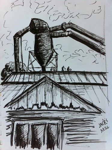
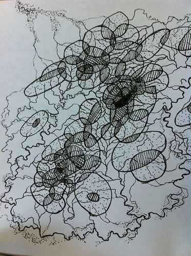
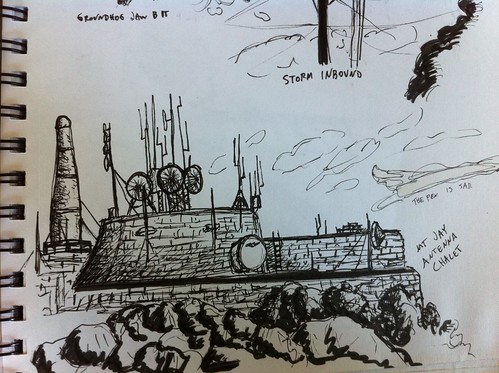
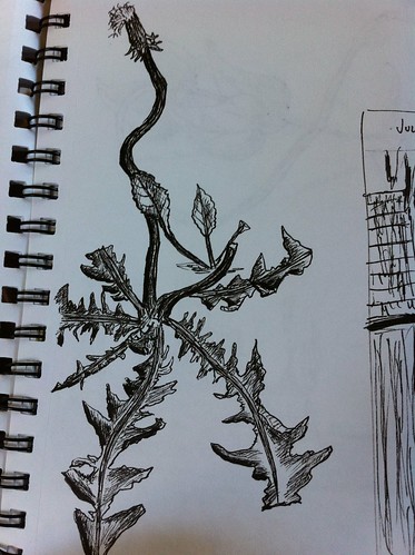
Summer 2011 Sketchbook, Part 1

Most of these are not water-related but I thought it would still be fun to post them.  Sorry about the ugly photos, I don't have access to a scanner anymore.


More here.

Wednesday, July 20, 2011

Vermont Summer Storms and Fickle Mountain Streams

The mountain streams and small rivers of Vermont are one of the state's treasures.  These streams, which hold copious water all year, are a huge draw to people looking to fish, swim, wade, dive, and explore.  These activities are an important part of the summer in Vermont and other areas with mountain streams, and by all means people should be enjoying these places.  However, they need to do so with respect for the fact that these waterways change fast, and can be quite dangerous at times.

This month a tragedy struck at the Bolton Potholes when a 12 year old boy drowned.  Another tragedy was narrowly averted when two people were rescued from Huntington Gorge.  There are many factors that can lead to danger, including dangerous cliff diving, drunken exploits into dangerous waters, or just bad luck.  One of the strongest factors, it seems, and one that is also often not well understood, is just how quickly these rivers and streams change during and after summer storms.

IMG_3170.JPG


Saturday, July 16, 2011

iNaturalist - more tech-based citizen science

In my search for fun, useful citizen science projects that involve smartphones and location data, I somehow managed to miss iNaturalist until now.  It's too bad, because this project seems to work a lot better than other ones I've tried out.  Among other things:


  • species are organized on a database that is hierarchical based on taxonomy, making it easy to search, make partial identifications, and obtain linked info.
  • For some species, range maps are already present, and there are plans to upload more
  • You have the option to control your geoprivacy, meaning you can upload location data that only you and the site admins can see.
  • Projects are versatile and seem easy to set up (I haven't tried yet, though).
  • The iPhone app and website are easy to use and not buggy.
  • There are a lot of neat people on the website who will help ID organisms.  In some cases, I've had IDs entered within minutes of an upload
  • It is easy to save observations on the phone and upload them when you are in a WiFi area.
  • It's fun!
So far, it doesn't appear that there is an easy way to track abiotic features of the natural world, such as weather events, urban hydrology, or geologic features.  That may, in fact, be too off-topic for the website, but I hope someone creates one for those things someday.

If you're interested, try it out!  You can see/follow my profile and sightings here.

Monday, July 11, 2011

July 6 Severe Thunderstorms near Burlington, Vermont

On July 6, another line of severe thunderstorms passed through Vermont, causing wind damage in many areas.  I had the opportunity to get a very good view of these storms, because we ended up driving through the line in Charlotte, Vermont.

IMG_2983.JPG


Wednesday, July 6, 2011

Slow Water in the Garden

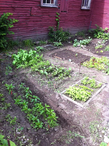
One of the neat things about water is how it is scalable - how water flowing over a small area acts similar to how it would at a much larger scale.  I've been experiencing this in our garden this summer.

IMG_2951.JPG

Tuesday, June 28, 2011

Eau Lente à Montréal, Québec (Slow Water in Montreal, Quebec)

(Note that I used Google Translator for the title, if it looks wrong, let me know and I'll fix it).

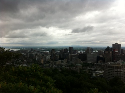
I've been spending quite a bit of time in Quebec lately.  Last weekend I was in Montreal for the Jazz Fest, but of course I was looking around at urban water features as well.

IMG_2888.JPG

Friday, June 24, 2011

Fun with QR Codes

It's been rainy and wet out, so after walking around in the rain a bit, I decided to come in and play around with some technology.

My friend just got back from New York City, and mentioned that the prevalence of QR codes has recently increased drastically.  These codes, in the form of squares embedded with a variety of large pixels, can be used to encode URLs, text, and other information.  They are most often used for marketing but are occasionally being used for outreach as well.  The larger scale potential for use of QR codes is huge, although I think for the time being they will continue to mainly be used in marketing and advertising.  I am thinking of putting up some QR codes for some of the urban hydrology features in Burlington after UVM fills with students again next fall, to see if anyone scans them.

I remembered reading somewhere that QR codes are not color sensitive.  So, I decided to fiddle with the QR code a bit and see how much I could change it while retaining the link.

Here's the initial Slow Water Movement QR code:

Slow Water 1

I tried adding a bit of color... and it still worked.

Slow Water 2

Next, I tried moving a few of the pixels to create letters.  Oddly, this still scans to the Slow Water Movement site:

Slow Water 3

Then I tried adding color to this version, including some subtle colors in the background:

Slow Water 4

I tried one more with more exaggerated colors, but it didn't work.  This last one was the most modified one I was able to create that still linked to this blog.

Does it work on your phone?  It may be that different phones have differing abilities to read QR codes.  I have an Iphone 4.

Based on the wikipedia article I linked above, I am far from the first person to come up with this idea.  Different forms of QR codes have been embedded in a wide variety of artistic endeavors.

Anyone else want to try making a fancy new Slow Water Movement QR code?  Give it a try and if it works, I'll post it here too.

Saturday, June 18, 2011

Sterling Pond, Part II

This will be a short post, because we're enjoying these warm early summer days.

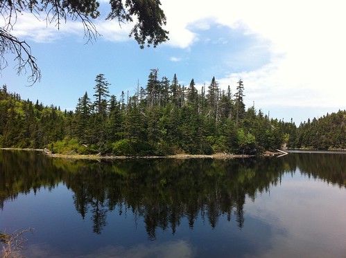
Upon visiting Sterling Pond, we were able to find a series of trails that went around the lake.  The far side of the lake is beautiful, especially since the person rudely playing music on a boombox at the other side of the lake was not audible there.

IMG_2635.JPG

The second pond outlet was a bit of a disappointment.  There was no water flowing south!  Instead, there was a bit of a boggy area, and no sign of recent water flow.  Most likely there is flow to the south during snowmelt, which comes rather late to Sterling Pond, which is in a very cold place.

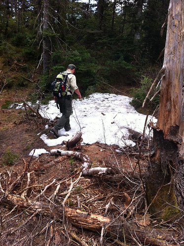
About the water found in the outlet... it too reflected the cold climate of the area.  Rather than a creek, there was a small patch of snow in the shaded outlet area, despite it having been quite warm lately.

IMG_2636.JPG

We also found talc deposits on the far side of the lake, reinforcing the idea that the lake is there because very soft rock was eaten away by the glaciers.

So... Sterling Pond is rarely, if ever, in the Winooski watershed.  The Lamoille outlet area is heavily trampled, and I can't help but wonder if heavy foot traffic in this sensitive area has lowered the level of this outlet a few inches, tipping the very delicate balance of this lake and ending the flow of the Winooski outlet.

Another reminder... wetlands are fragile, so explore them gently or keep to the uplands.

Monday, June 13, 2011

Return to Sterling Pond (cliffhanger)

Last week I made a return visit to Sterling Pond with two friends.  Our goal?  To find out if the pond really drains into both the Winooski and Lamoille watersheds.

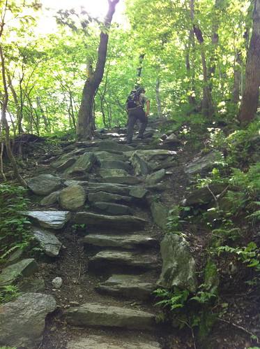
Sterling pond is right on the divide of the Green Mountains, so it is a bit of a steep hike up, though beautiful.

IMG_2625.JPG

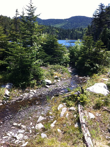
We already knew about the first outlet - the one that drains into the Lamoille River...  IMG_2627.JPG

and beyond, via Jeffersonville, to the Lamoille river.

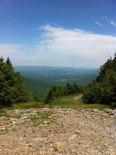
IMG_2629.JPG
(seen above is Jeffersonville from Smuggler's Notch Ski Resort.  The dry, rocky area in the foreground is not the creek)

But what of the second outlet?  Was there water flowing north to the Winooski river at the same time?

Well.. we did manage to circumnavigate the lake, and we did find water at the second outlet location... but not exactly the kind of water we expected...

Check back here at the end of the week to see what we found!

Thursday, June 9, 2011

More Storms in Vermont

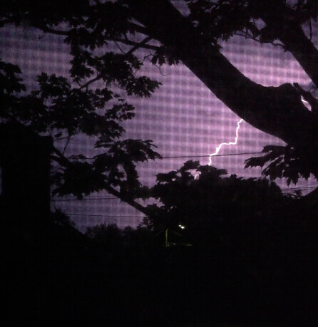
After more record heat, Vermont is experiencing more thunderstorms.  The current wave of storms is not producing as much heavy rain so far, because the storms are moving quickly and because the ground is not nearly as saturated as the last round of storms.  However, there still have been some severe storms with gusty winds, frequent lightning, hail, and the other things that come along with severe weather.

Picture 4

Monday, June 6, 2011

Vegetation Mapping... looking back

It is interesting how water is a model for how so much of the world works.  Time is often compared to a river, always flowing forwards... we are present in only one part of this river, with only eddies to remind us of the past, and very little indication of what is beyond the immediate future.  Sometimes, though, the river of time makes vast loops, and by peeking over the oxbow we are able to remember a bit of what our lives were like, many years before.

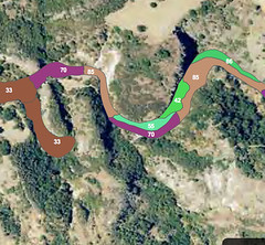
vegmap

Something like this happened today.  I stumbled across something on the internet that I helped make quite some time ago.  Before the sudden, abrupt shift in my life that led me off my previous course and to Vermont to attend grad school... I had been on a relatively set course for a long time.  I was a vegetation mapper.


Friday, June 3, 2011

In western Vermont? Help track invasive species!

This spring I've been helping test out 'What's Invasive', an Android and Iphone app designed to map invasive species in the field.  I created a 'Park' for Vermont called "Champlain Valley of Vermont" and added several invasive species that I think are worth tracking.

The program is free, fun, and easy!  All you do is load it on your gps-enabled smartphone (it won't work on non-gps phones)... create a free account, log into the Champlain Valley park, and start reporting weeds when you see them.  For buckthorn and honeysuckle, the app required me to choose just one species, but please do map any invasive buckthorn or honeysuck under these categories.  Also, if you aren't in the Champlain Valley, but still want to test this out, that is fine too.

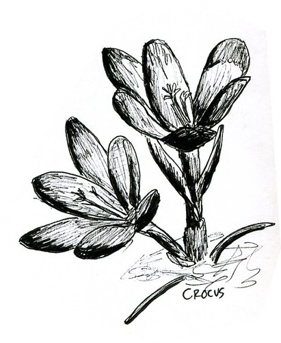
I've got quite a head start on sightings, but if anyone can get more (legitimate!) sightings than me before winter, I will draw you a picture of an invasive plant of your choice, in this style:

Crocus

They have to be spread out at least a little... please don't photograph every stem in a garlic mustard clump :)

Also if you have any ideas about how to make the app better, let me know and I will pass those along to the app designers.  Or, email them yourself from the What's Invasive website.