
![IMG_0428[1]](http://farm5.static.flickr.com/4018/5079207608_d7e1fb6b65.jpg)
Because it is on the spine of the Green Mountains, the pond is at a quite high elevation for a Vermont pond - around 3000 feet. It has a very tiny catchment basin (another word for the 'watershed' that drains into the pond), but because the area receives copious precipitation, and because the area is below freezing for much of the year, the amount of water entering the pond is much higher than the amount lost by evaporation and transpiration, so water flows out of the lake. The pond has very little sediment flowing into it, and the deeper parts have even been used to obtain pollen samples from shortly after the ice sheets receded from Vermont.
View Larger Map
I thought for a while about the implications of a pond that drains into two watersheds:
- There are trout living in the pond, and these trout could conceivably disperse downstream into either the Lamoille River OR the Winooski River (though both rivers drain into Lake Champlain as well).
-In a sense, a huge part of Vermont, including its highest point (Mt. Mansfield) and the towns of Winooski, Jericho, and Essex, are on a very large island.
-Beavers can hypothetically climb to 3,000 feet and cross a mountain range without leaving the water!
I don't know of any other lakes in Vermont that drain into two seperate watersheds, though there are some wetlands on low watershed divides that may do this. I doubt there are very many lakes in the world that drain down both sides of a mountain range. I have heard that a small glacial lake in the Sierra Nevada of California drains both into the Great Basin and the Sacramento/San Joaquin Valley, but my brief research has not turned up its name or location.
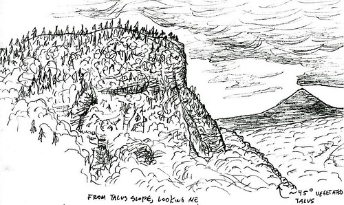
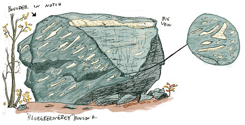
So why did a large pond form right on the main ridgetop of the Green Mountains? No one knows for sure, but the answer may be linked to the talc formations in the area. Talc is the softest naturally-occurring mineral, and as such would be eroded very easily by glaciers. It is possible that the basin was once a deposit of talc, and was scoured out by glaciers. The geology of the Smuggler's Notch area is very interesting in general, with a variety of metamorphic rocks including a very large quartz vein. I recently drew some pictures of geologic features in the area, which are posted below.
No comments:
Post a Comment