

The above photo was taken around 11 last night when a line of storms moved through. Another loud line of storms moved through at 3 AM. Yet another few storms came by in the morning, causing hail and power outages in some areas (a friend saw up to marble-sized hail in Sudbury).
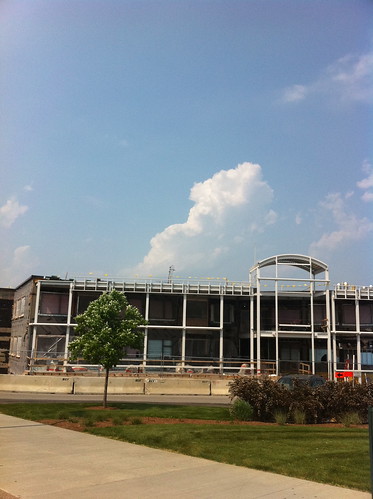
The current set of storms started with a very hot, muggy day yesterday. Yesterday afternoon, towering cumulus clouds started building:
There were some scattered storms in Addison County, followed by a storm that moved just to my south - part of a band of storms that moved through Rutland yesterday evening.


There will undoubtedly be more storms in the area this afternoon. The sun has come out again, which tends to spark storms on days with unstable air (such as today).
No comments:
Post a Comment