
Magog is a neat little town in southern Quebec. We had a good time checking out the shops, restaurant, and lake, though it made me realize I should learn some basic French. After dinner, we walked to the edge of town where we had seen a wetland boardwalk, and found this neat and very extensive preserve.
The marsh is traversed by several miles of boardwalk. These are mainly in very good condition, though some have settled and are tilted (maybe due to the wet spring).

While Cherry River is the site of a natural marsh, the wetland was also accidentally artificially increased in size around the start of the 20th century when dams on the Magog River and a railroad causeway was installed - making this a successful, but accidental, wetlands construction site! The wetland contains a variety of habitats, and is home to lots of wetland birds and other wildlife. It is also a great recreational and educational resource. Many locals and tourists were out enjoying the warm evening, and there are plans for a large educational center to be built nearby.
Much of the wetland is filled with short shrubs.
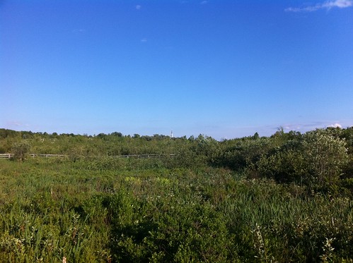
There are also areas of herbaceous wetland and open water:

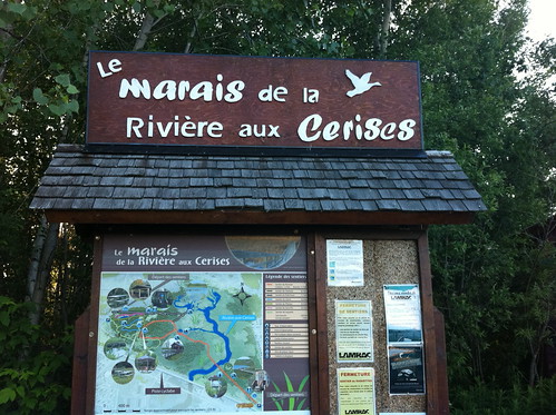
The interpretive signs are in French, since the preserve is in Quebec. I didn't understand most of them, but they looked like great educational resources.
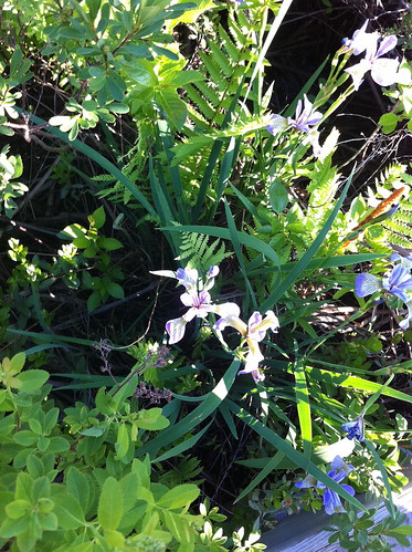
Irises were blooming along the boardwalk...
There were a few straggly but beautiful trees in the marsh, such as this larch (tamarack) tree...

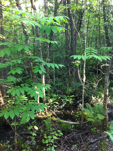
In the eastern portion of the preserve, the marsh transitions into a cedar swamp. The trees are fairly small, perhaps due to the relative young age of the wetland, but the area is still beautiful, has a very different feel than the marsh, and was teeming with birds.

The boardwalks traversed most of the habitats in the area, allowing visitors to experience the wetland without hip waders or a kayak, and also reducing the impact of visitors.
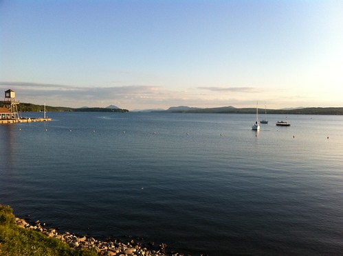
If you are in the southern Quebec area, check out this wetland. It's a neat place. Lake Memphremagog is also beautiful, and Magog has some nice waterfront parks that reminded me a bit of the waterfront in Burlington.
Just a few other trip highlights:
The top of Jay Peak, a very prominent peak in far northern Vermont. It is best known for its downhill skiing and snowboarding (looked like some fun runs!) but in the summer, it's also a great place to hike. While under 4000 feet, Jay Peek is more impressive than some larger Vermont peaks because it is so prominent and steep-sided.

A severe thunderstorm near Waterbury, VT. Beautiful to look at, but not fun to drive through:

Lake Willoughby, a beautiful glacial lake in northeastern Vermont (sorry for the crooked picture):

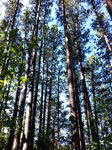
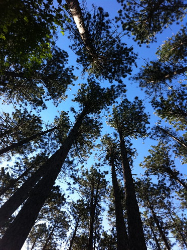
Brighton State Park near Island Pond, Vermont is also a neat place. There are two lakes, both of which are well populated with loons (we heard their eerie calls through much of the night). Unfortunately the area also supports a healthy mosquito population during this time of year. The state park also contains a neat mature red pine forest. While red pine plantations are scattered through Vermont, natural stands are fairly rare and mostly limited to ridgetops and steep slopes. The sandy soil in this area, and perhaps fires lit by Native Americans in the past, led to the establishment of a large and mature stand of this fire-tolerant pine species.
Rainy weather has returned to Vermont, but make sure to enjoy the summer during breaks in the storms!
No comments:
Post a Comment