
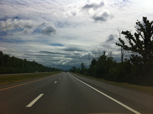
We traveled across the Lake Champlain Islands, the northernmost part of New York State, to Ottawa and the Gatineau River, then through Sudbury (the one in Canada, not Vermont), across the northern part of Lake Huron, through Sault Saint Marie, across the Upper Peninsula of Michigan, down through northern Wisconsin, to our destination in the Twin Cities of Minnesota. On the return trip we primarily traveled a less interesting route, along Interstates 80 and 90 with their myriad toll booths and travel plazas, but cut through the Adirondacks on the way home.
For an approximation of the route you can check my iNaturalist sightings from the trip, which mostly trace our route. I didn't mark anything while driving, of course, which explains the somewhat patchy distribution of sightings.
With such a long trip, there are several blog posts worth of neat stuff, so expect more about this trip over the next month or so.
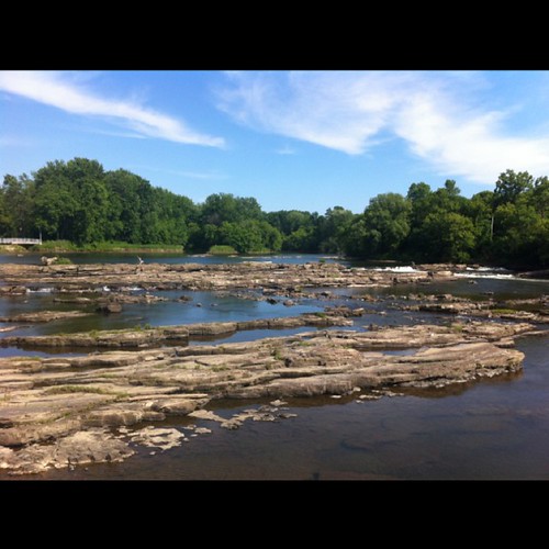
We left Vermont with a wicked heat wave in the forecast - something I was happy to miss. The Winooski river was already running low before the heat set in...
The Lake Champlain islands were beautiful as always...

We traveled through the far northern part of New York State and the Mohawk Nation of Akwasasne before heading up to a friend's house near the Gatineau River for the night.
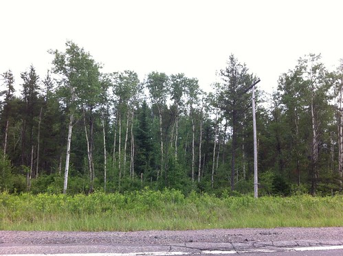
As we headed west the next day on Highway 17, the main east-west highway in this part of Canada, we crossed a variety of natural community types, ranging from hardwood forest with oaks mixed in to full boreal spruce-fir forest. Aspen was common along the road, as it was for much of the trip:
We passed Sudbury, Ontario, a 'rust belt' town surrounded by an odd expanse of stunted aspen. As it turns out, the area experienced severe environmental damage during the early 20th century, far beyond even what Pittsburgh experienced, to the point that all of the vegetation was killed and the soil washed away. The area is now in recovery with active restoration underway. Still, the change in vegetation is dramatic. I wondered if the area didn't look similar soon after the retreat of the glaciers after the ice age.
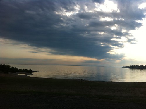
Later we stood on the northern side of Lake Huron near sunset...
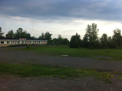
This area of Canada is sparsely populated, and appears to be becoming more so. All too many hotels, stores, and restaurants appeared to be closed or otherwise in decline. I was surprised to see so little activity along this major stretch of road (albeit just a two lane highway most of the way), but I guess most of Canada's population is centered around Toronto, Ottawa, Montreal, and Quebec City.
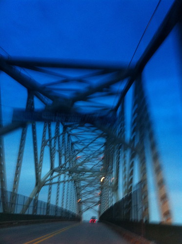
The bridge and Saint Lawrence River crossing at Sault Saint Marie is very neat...
We didn't get to spend a lot of time in the 'UP' of Michigan, but it is a beautiful place. It has bogs/spruce swamps far larger than those in Vermont:

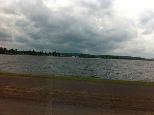
The shoreline of Lake Superior (denoted by this 'stating the obvious' sign) is beautiful...


though unfortunately also besieged by biting flies.
Soon, storm clouds started to build...
Soon we would drive through the storm that devastated Duluth, Minnesota with flash floods, but that is a subject for another post soon.
No comments:
Post a Comment