
That isn't to say we shouldn't preserve wild, open spaces. We should. Nevertheless, I've felt and seen more wilderness on the Burlington, Vermont waterfront during a raging blizzard than I've felt walking trails in Yosemite in the summer.
Lately there's been a controversy in actions the city of Middlebury has taken along the Middlebury River. I started making an upset blog post about it a few days ago, then deleted it, because the situation was too fast moving, and too politically charged, and I was feeling irrational and emotional. I may post about it in the future, but for now, here's the newspaper article about the controversy. I'm quoted here, as are others living in East Middlebury. In any event, I was feeling frustrated with the whole thing, and at the same time others in town had expressed concern about the condition of the river downstream from where this all happened. So, I set out to explore a new section of the Middlebury River. I set out, and what I found, was a wilderness.
(click below)
My trip involved wading right through the river, and I am clumsy and prone to falling in the river (I didn't this time) so I kept my iPhone in a waterproof bag. Unfortunately, this gave the photos a weird, hazy, 'fake-vintage-hipstamatic' look.
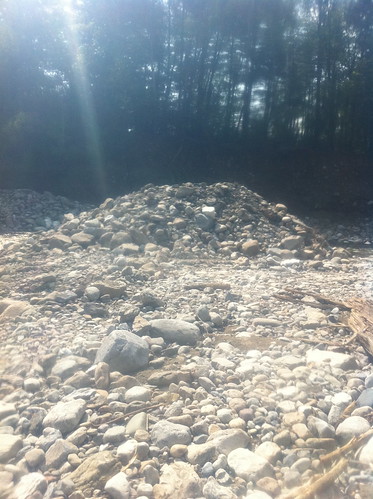
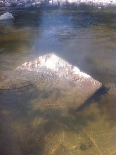
This heap of rock sits where the construction activities mentioned above stopped. I'm not sure what its fate will be, but at the current time it stands as a monument to the whole event. Moving downstream, though, it was quickly forgotten.
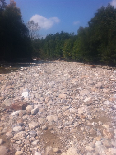
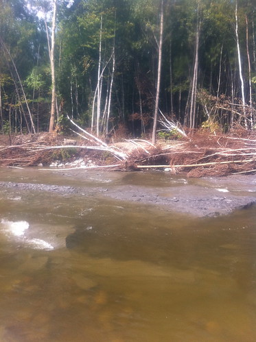
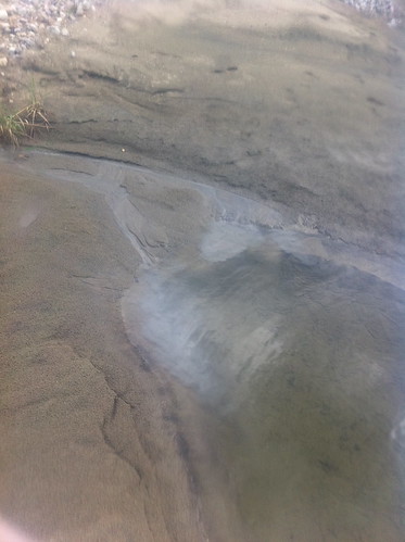
Above, the river is getting ready to cut a new course. The right now flows from right to left, with a little water spilling into the background. You can see that the background is much lower than the river is, and with a bit more erosion, the river should shift into a new course. Luckily, the new course will not result in flooding - if anything it will reduce flooding where the old river path was causing erosion.
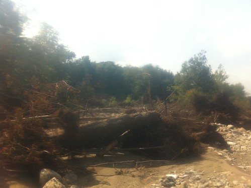
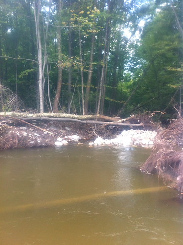
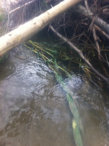
Huge stacks of debris and tree trunks litter the riverbed. Some are concerned they may obstruct flow and cause flood problems. I am not really sure whether removing them would help, or would speed up the water more and increase erosion.
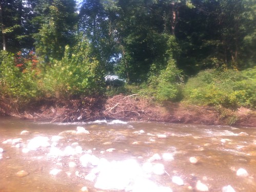
This debris pile is probably decreasing erosion, since it lines an eroding riverbank.
In this area, there are houses not much higher up than the river. This is one of the areas where there will hopefully be levee work or other forms of management to keep the river away from homes.
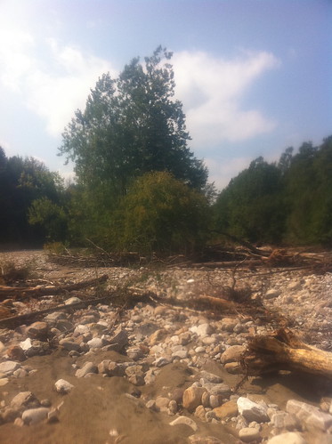
This island of trees was untouched by the flood. Imagine being a squirrel in one of these trees as water washed around and between the tree trunks!
This appears to be a piece of the flood wall, washed down at least a half mile from Grist Mill Road.
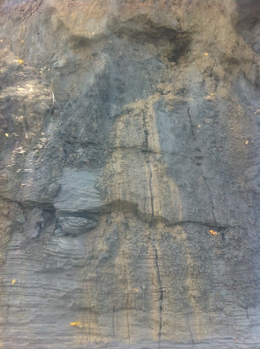
There are eroding clay banks in several sections of the river. This clay was deposited in the area as the Ice Age ended and a lake filled the valley for a while.
The river actually jogs sideways to follow these power lines for a while. I think the river more quickly eroded banks where trees and vegetation were removed, causing it to make this bend. This is a lesson that should be sent upstream to areas where vegetation was removed during the aforementioned project.
The river seems to have gotten into farm fields and removed some corn stalks.
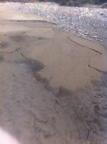
These interesting sand formations were left in the riverbed as water receded. The second one appears to be a 'delta' built into a puddle that later drained. The terrace that the city of Bristol, Vermont is built on was formed in a similar way in the old glacial lake.
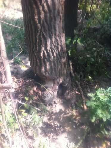
Humans are not the only mammal altering the ecosystem. There were some beaver chews near the Route 7 Bridge and I have also seen some upstream. This river is too fast and large to dam, and probably not deep enough to support resident beavers without dams, so they probably just pass through from time to time.
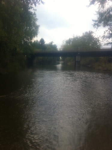
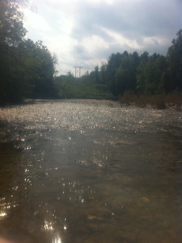
The Route 7 bridge, looking downstream. Here the river dramatically changes character, becoming slower and meandering through farm fields. I need to explore this section of the river further, although sections are not easily accessible and I don't want to trespass in farm fields.
I like your tone and style in this post!
ReplyDeleteThanks!
ReplyDelete