
I experienced much of this storm, as I left Burlington as it was arriving, stayed ahead of it until Bristol, hit torrential rain south of Bristol, and popped out into sun in East Middlebury (where the storms had not arrived yet).
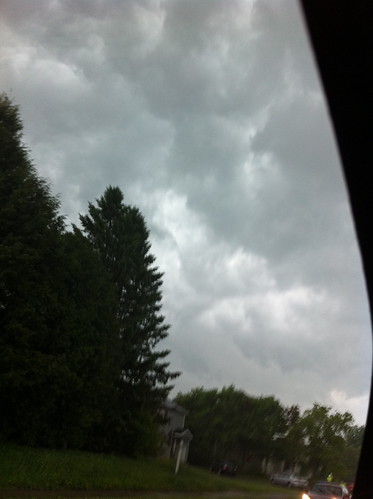
The picture below is of one of the first severe storms to enter Vermont. There are more pictures after the 'see more' link below.
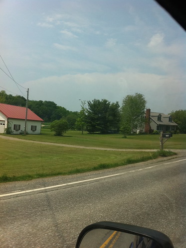
This was a possibly-rotating severe storm crossing Lake Champlain as seen from Hinesberg.
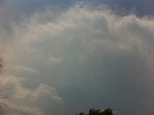
I was up in Burlington as this storm cell passed by to the north. I missed the chance to take a photo of some very weird ring-like clouds next to the anvil that lasted only about two minutes, but I did get a picture of the anvil as the storm rolled by. Some remnant of the linear cloud is still there, which initially looked like the little rings that form around a mushroom cloud.
A near-constant rumble came from the storm as it passed, and the storm seemed like a huge angry animal.
The above storm missed Burlington, but several smaller cells did pass through before the main line came into town.
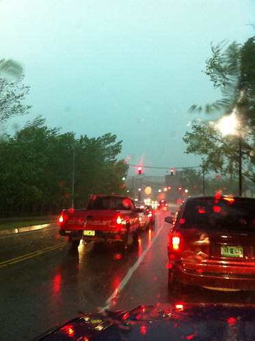
I needed to travel south to the Middlebury area, so when I saw a slow line of storms moving in from the northwest, I decided to leave Burlington before it hit, so I didn't have to drive through it from behind as it moved south. Unfortunately, I got delayed by traffic in the Old North End, and the initial downpour caught up with me.
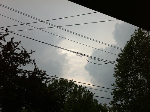
I managed to get clear of the storm for most of the drive, but some very intense clouds appeared any time I looked behind me or to my right.
I was basically driving the whole way between Hinesberg and Bristol on Highway 116, in that 'just before the storm' moment with warm muggy air, rising winds (when the storm started catching up, the initial big gust would catch me, then I would get in front of it). South of Bristol the storm caught up to me again, and I had to punch through an intense downpour that was about to turn to hail (I missed the hail but read reports of large hail in the area later... I was lucky!) before I popped out into dazzling sunlight in East Middlebury!
(Please note that I am not advocating trying to outrun severe thunderstorms in your car, and I probably should have stayed in Burlington or left there much sooner. If I had been 20 minutes later I might have been caught in quarter-sized hail or flash floods.)
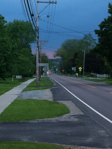
As the sun set, the line of storms stalled for a while, extending from about Middlebury to Bristol to Montpelier to St Johnsbury. This is where intense flooding occurred. I took this picture in East Middlebury, just south of the stalled storms, where the torrential rain was being backlit and just enough light got through to paint it a sickly pink-orange color.
After the sun set, the line very slowly settled south towards my home in southern Addison County. I sat on my porch for a while and watched lightning flashing up towards Bristol. The lighting was flashing, at times, at least once a second, though that was probably a combination from several storms. The constant rumble of thunder slowly got louder as the storm sagged south.
This is a youtube video from my window as the storm got closer. It doesn't really do the storm justice because not every flash shows up... but it gives an idea of what it was like. At this point, the inside of the house felt like a weird horror movie as near-constant flickering and flashing splashed on the walls from all of the windows.
When the storm was directly overhead, for about a half hour, cloud to ground lightning was occurring all around my house. During the most intense moments of the storm I experienced something I have only experienced once before. A soft buzzing sound started coming from the metal window frames, and I could feel tingling as the whole air became highly charged. I quickly got away from the windows... and a minute or so later lightning hit just across the street. I could have probably seen some Saint Elmo's Fire if I had stayed near the window but it seemed like a bad idea.
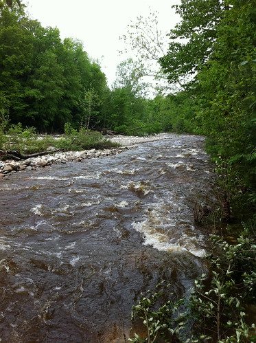
I'll bet no one in town was able to sleep a bit until 1 AM! The next morning met us with groggy townsfolk talking about weather in the corner store... a garden that mostly pulled through unscathed thanks to us not getting any of the hail... 1.6 inches of new rain... and a raging river.
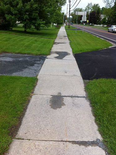
A few areas even experienced deposition of gravel bars on sidewalks... which made me think of the blog post I made yesterday. However, we were spared the horrible flash flooding that happened in other parts of Vermont.
We will see what today holds. The forecast is for additional heavy rain this afternoon.
No comments:
Post a Comment