

This is the Youghiogheny River, also known as the Yough, a tributary to the Monongahela River. This river was once a major transportation route between the Mid Atlantic and the Midwest, as its headwaters are near the North Branch of the Potomac River. A railroad line also followed this river and more recently a biking and hiking trail.
Cedar Creek is larger than Panther Hollow Run but does share some similarities.
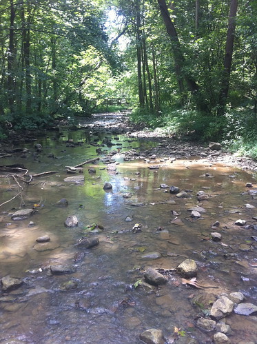
There are some areas of agriculture and urbanization in its watershed, so some runoff effects are likely. However, the area is in general more natural and intact than Schenley Park, since it is not as heavily visited. There was some bank erosion, which I drew a picture of.

I noticed a relative lack of invasive and other non-native plants - most of the forest was dominated by sugar maple and oaks, with sycamores and silver maple closer to the river.

(the above sycamore, however, was along the creek, not the river).
I looked for cedars, but all I found was this possible dead cedar.

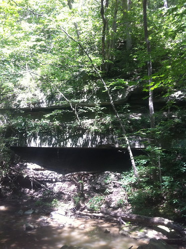
There were lots of neat rock exposures near the creek. Apparently rocks were blasted out of Schenley Park when it was being created, because people found rock outcroppings undesirable. I think they are neat!

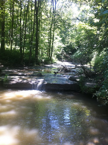
Near the upstream park boundary, the creek runs over an area of flat bedrock and over a small falls.
Unfortunately some very unthoughtful person left a diaper and some cigarette butts here.

I don't understand people sometimes.
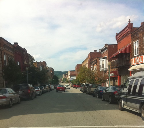
I decided to drive back to Pittsburgh along the Monongahela River. I drove through Donora, a place where a famous smog disaster occurred in 1948 that changed the way people looked at air pollution (though actions to combat it were not always quick to occur). The zinc mill that was linked to this disaster is long gone, and the air on this day was beautifully clear.
There was a lot of interesting industry still occurring along the river. Some areas had signs that indicate what was being built, but others were rather mysterious. I don't remember/know what this one was:

I took these pictures with an Iphone with GPS capability. I am still experimenting with ways I can share this information so people can go visit interesting areas I found. For now, you can find an interactive map with some photos on Flickr.
No comments:
Post a Comment