
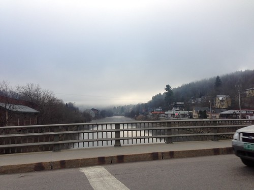
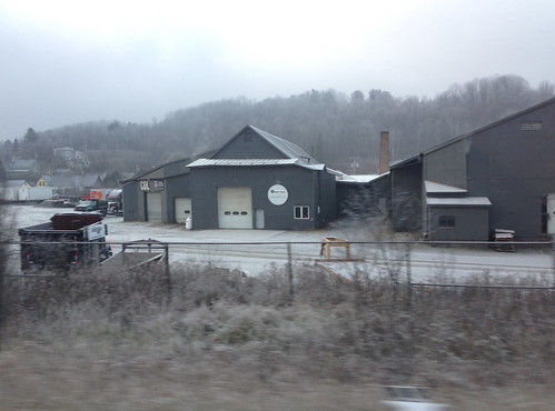
There have been some low clouds though - very low clouds. The river valleys such as those around Montpelier and Barre have experienced dense freezing fog on several mornings.
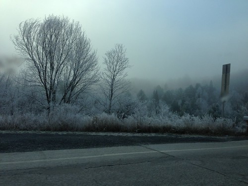
The fog froze on all the twigs of the trees on the hill around Berlin, Vermont, leading to this beautiful winter scene:
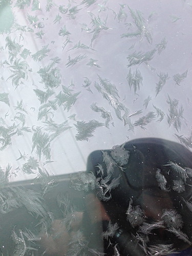
Moisture has also been condensing on car windows. Usually this means ice scraping - one of the less enjoyable tasks of a cold winter- but on some of the drier nights we just had pretty little ice crystal formations.
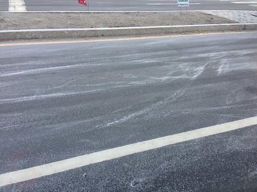
I also noticed something odd on several cold mornings - one area of Barre seemed to get a dusting of 'snow' every morning. This area is near the river, so perhaps this 'snow' is just condensed river foam, or perhaps ice crystals that fell out of the fog rising off of the river. Certainly it is odd to see a dusting of 'snow' emerge from the fog after an otherwise clear night.
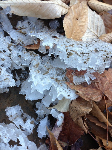
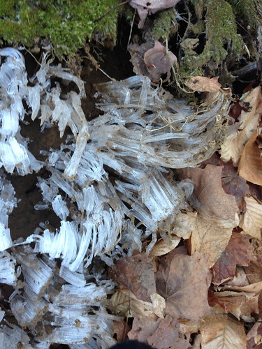
On a mountain trail we noticed 'frost heaves' forming. These form when moisture seeps out of the ground as it freezes and expands.
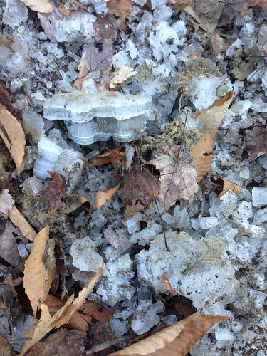
I think the layers above are formed each night as freezing and thawing conditions alternate over the day.
The 'frost flowers' or 'frost heaves' push right through the fallen leaves.
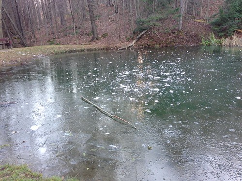
The larger lakes and rivers don't contain much ice but this small pond in Hubbard Park in Montpelier had some thick ice.
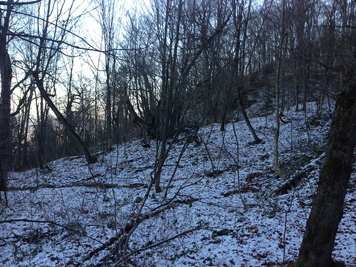
On the slopes of the state's higher mountains, there is a dusting of snow:
There is more snow to come. The only question is how soon. The high pressure area is forecast to leave the state after Thanksgiving Day, and a small storm over the latter half of the Thanksgiving Weekend may drop a bit of snow. A larger storm may come in a bit over a week. Or, maybe not. Forecasts out that far aren't accurate. But, I did see one computer model run that, if correct, would mean we would get possibly about 6 inches of snow. Nothing unusual for the end of November, but more snow than we got all of last year's dud of a winter. We'll see!
Thanks For sharing this Superb article.I use this Article to show my assignment in college.it is useful For me Great Work.
ReplyDeletecheap front yard landscaping