
Click below for what I found.
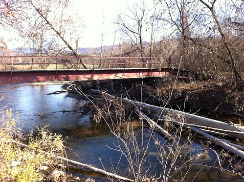
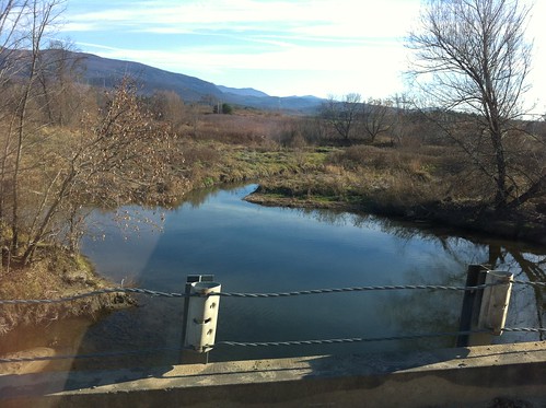
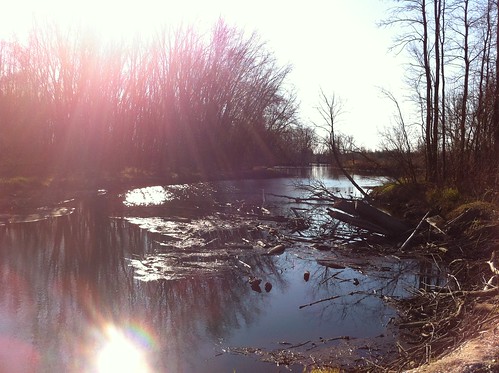
Rivers are quite complicated, and something that may do more harm than good in one area may be necessary in another. This seems to be one of those cases. I'm not sure exactly where the city wants to do work, but the photo above illustrates a case where removing logs is a good idea. These logs are stuck just downstream from a VAST snowmobile bridge, and span almost the entire river. This area also has very little undeveloped floodplain. Since the water is forced under this bridge here, high water and ice jams could cause the water to back up and destroy the bridge, potentially creating a danger to snowmobilers or causing water to flood onto Three Mile Bridge Road. Furthermore, the road is very close to the river and the logs could be removed with little or no impact to the banks and bed of the river.
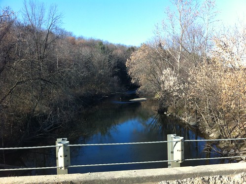
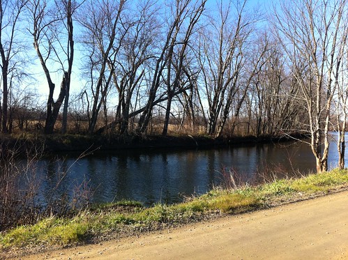
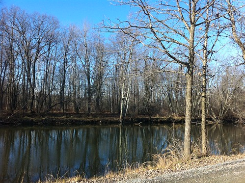
The lower Middlebury River is very different from areas upstream, including the portion of the river in East Middlebury and the Middlebury Gorge. The lower river is slow-moving, shallow, meandering, and mostly free of larger cobbles and boulders. For the most part, there is very little floodplain forest between the river and nearby farms, with a few notable exceptions. Sycamores and cottonwoods become less abundant, and are largely replaced by lowland flood plain species such as ash trees and silver and sugar maples. Red oaks occur higher on the banks.
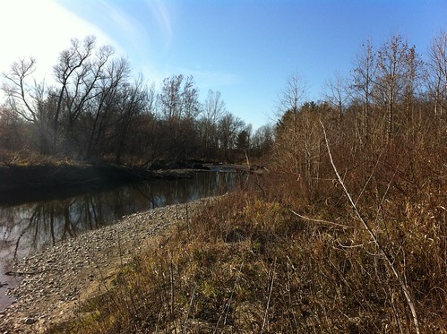
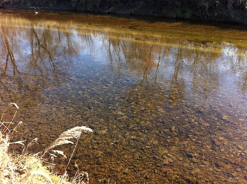
Note that the sediment here consists of much smaller pebbles than the area upstream I more frequently post pictures of. The river is rather shallow, though this is in part due to the fact that November has been relatively dry this year.
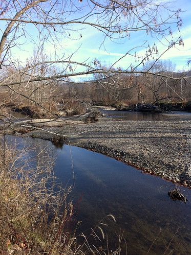
The river slows down more and more as you travel east, and begins to meander extensively. (sorry for the reflection, as some of the pictures were taken through a car window. It was COLD and I didn't want to roll down the window!)
Many of the whitish 'leaves' on the trees above are seeds on ash trees that line the river here.
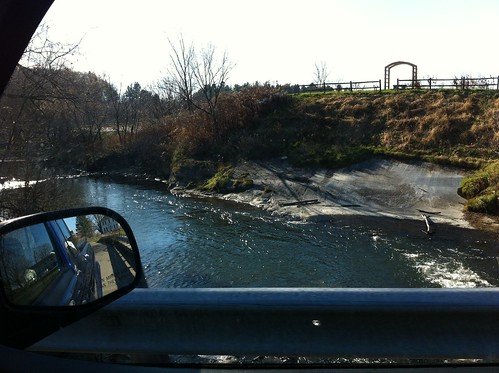
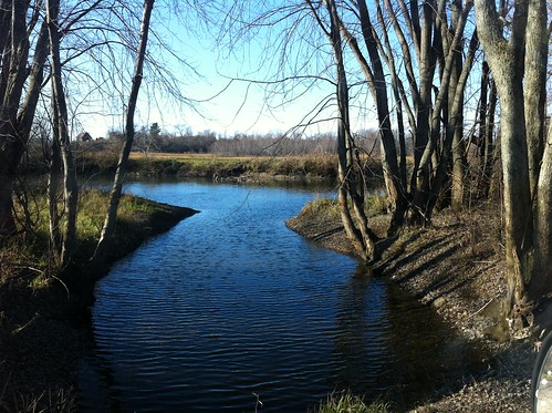
Just downstream from the Shard Villa Road bridge is a rock outcropping (pardon the car mirror!). I read in one hydrologic report that this outcropping represents the only place where the lower Middlebury River encounters bedrock (and thus is restricted in its downward and lateral erosion) There are some riffles here and a small deeper spot as the water rushes over the small outcropping.
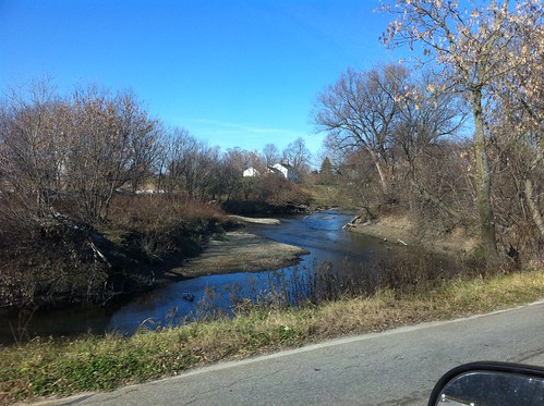
Near the junction of the river with Otter Creek (the ultimate destination of and a much larger river than the Middlebury), I encountered a place where logs had been cut and removed from the river.
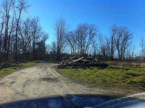
I doubt this will do much to reduce erosion or flooding, but whoever did this left the root ball in the bank, and apparently was able to remove the logs without any contact with the river or bank (there is a nearby road), so it probably didn't increase erosion risk either. In any event it will make it easier for kayakers and canoers to explore this area in the spring, but may slightly decrease the quality of the river's fish habitat.
Below are a few photos of Otter Creek along Creek Road. This is a much larger river than the Middlebury River, despite its name, and is the river that passes over the falls in Middlebury.
(small inlet)
A map of where these photos were taken is available here. I recommend switching to 'hybrid' mode, zooming in, and checking out the many meanders of the river.
Charlie, it's the Town of Middlebury. There is no such thing as the City of Middlebury.
ReplyDeleteVermont has 251 municipalities. 242 of them are called towns. The "City of Middlebury" sounds as silly as referring to the "Town of San Francisco" in the Bay Area.
Thanks for the interesting report.
Thanks for the comment! Since I am originally from out west I am still learning the terminology. For instance there arent towns or municipalities in the same way out there, and most sparsely populated rural areas are just county land. I like the Vermont system though.
ReplyDelete