
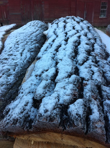
Above: light snow accumulation on some stacked wood in East Middlebury. For the most part, no measurable snow fell here.
Well, the computer models are at it again. For the last week, the GFS computer model, later joined at times by the NAM computer model, predicted that a strong nor'easter style storm would form, but would pass by offshore without doing much on land. The ECMWF weather model, an European model, predicted a heavy storm would move up the coast and dump snow over much of the Mid Atlantic and New England. Since the latter is quite unlikely this time of year, and because the ECMWF was an outlier, it was believed that it would eventually 'change its mind' and match the other forecasts. Instead, the opposite seems to have happened. The GFS and NAM now are predicting possible heavy snow along the interior Mid Atlantic and New England.
If things happen exactly how the models now predict, which is unlikely, some areas would get a dumping of snow, but central Vermont would only get about an inch - but significantly more would fall in the mountains of southern Vermont. Of course, the models keep shifting the storm further west, and if that continues, central Vermont could get several inches. Or, the storm could end up further east, as the initial prediction called for, and there would be no snow at all.
Heavy October snow could cause serious problems, especially closer to the coast where it is uncommon. In places like Connecticut, the deciduous trees still have most of their leaves, and heavy snow would break branches, bring down trees, and cut off power to many people. In Vermont, where the trees have less leaves still attached, heavy snow would cause some damage, but it would not be as significant.
The storm is being discussed by The Weather Channel, Accu-Weather, and Burlington Free Press's Weather Rapport blog.
The longer term outlook does seem to hold the potential for more strong storms to move through the New England area in early November. It's too early to say how big, or if the precipitation would be mostly rain or snow.
Here's a few pictures from this morning, after a hard freeze of 27 degrees:
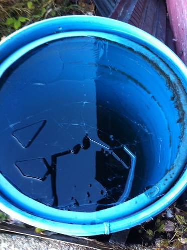
Time to empty the rain barrel!
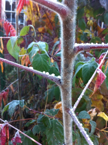
Beaded water frozen on sumac
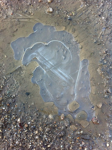
Icy puddle
and yesterday:
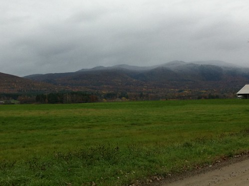
snow on Mt Moosalamoo
No comments:
Post a Comment